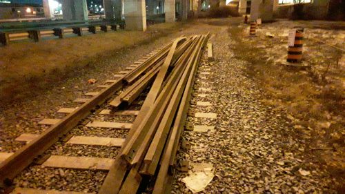
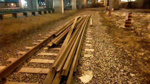
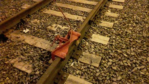
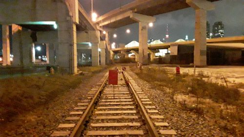
Just west of the Keating Railway bridge these railway tracks are being removed, as part of the Port Lands Flood Protection Project, week ending Feb 1 2020.
this effort could also be considered to be part of the Don River Mouth Naturalization project, which can be said to be the most important environmental re naturalization project in Toronto in decades, begun in 2019 and continuing though 2024 the month of the don river will be remade from the 1950’s straighten and curve at 90 degrees realignment.
Here is what the Toronto and Region Conservation Authority states about the changes occurring though to 2024
The Don Mouth Naturalization and Port Lands Flood Protection Project (DMNP) is a precedent-setting undertaking aimed at revitalizing the mouth of the Don River. The DMNP will ultimately transform the existing mouth of the Don River, including the Keating Channel, into a healthier, more naturalized river outlet, while simultaneously providing critical flood protection to 240 ha of Toronto’s eastern waterfront. source link
A Brief History of the Port Lands
Today, the form and function of the Don River mouth differs dramatically from that of the river mouth that existed at the time of European settlement. Prior to the formation of what is now the City of Toronto, the lands along the lakefront were composed of extensive forest and marsh habitats.
Ashbridge’s Bay Marsh, a 560 hectare wetland named after the first settlers east of the Don River, formed the mouth of the Don and was molded over time from depositional materials eroded from the Scarborough Bluffs.
Since the late 1700s, the Don watershed has undergone profound changes. A host of industrial activity along its banks, from sawmills to cattle processing to petroleum storage, has resulted in significant changes to the physical, chemical, and biological form and function of the Don.
These processes, combined with years of lakefilling and other shoreline alterations, have completely transformed the Don Mouth from a complex and rich wildlife community to a highly industrialized, artificial waterscape with low ecological diversity and limited public value.
Fortunately, in recent decades attention has moved towards improving and rehabilitating the mouth of the Don River, and the DMNP EA caps off an extensive planning process whose roots can be traced to a public meeting in 1989.
Informed by extensive engagement with the public, government agencies, landowners, and developers, the DMNP has been merged with the Lower Don Lands Transportation and Servicing Master Plan EA to form the Port Lands Flood Protection and Enabling Infrastructure Project, a comprehensive plan for flood protecting Toronto’s southeastern waterfront.
Project Goals
Currently, 290 hectares of urban land east and south of the Don River are subject to risk of flooding. The overall goal of the DMNP, along with its objectives, has been shaped by extensive consultation with stakeholders, including members of the public, during the development of the the DMNP EA.
The project goal is a statement of overriding purpose of the DMNP, which is to:
“Establish and sustain the form, features, and functions of a natural river mouth within the context of a revitalized city environment while providing flood protection up to the Regulatory Flood”